Capulin Volcano National Monument preserves approximately 800 acres (324hectares) primarily the cinder cone volcano. More than 15 square miles of associated lava flows are outside the monument boundaries and can be seen from various places along the rim looking out. In the photo above, Oliver is walking along the rim of the now inactive volcano. You can also hike to the center of the crater.
After a stop at the visitor's center to get oriented and watch their video that provides some history of the area, we had a picnic lunch before we headed to the rim for some hiking.
The slopes of the volcano have been stabilized by the formation of soils, produced by the breakdown of the volcanic material by lichens and mosses. Once these soils formed, grasses, wildflowers, shrubs and trees took root. Chokecherry trees, which are common along the crater trails, inspired the name for this cinder cone volcano; Capulín is a Mexican-Spanish word for Chokecherry.
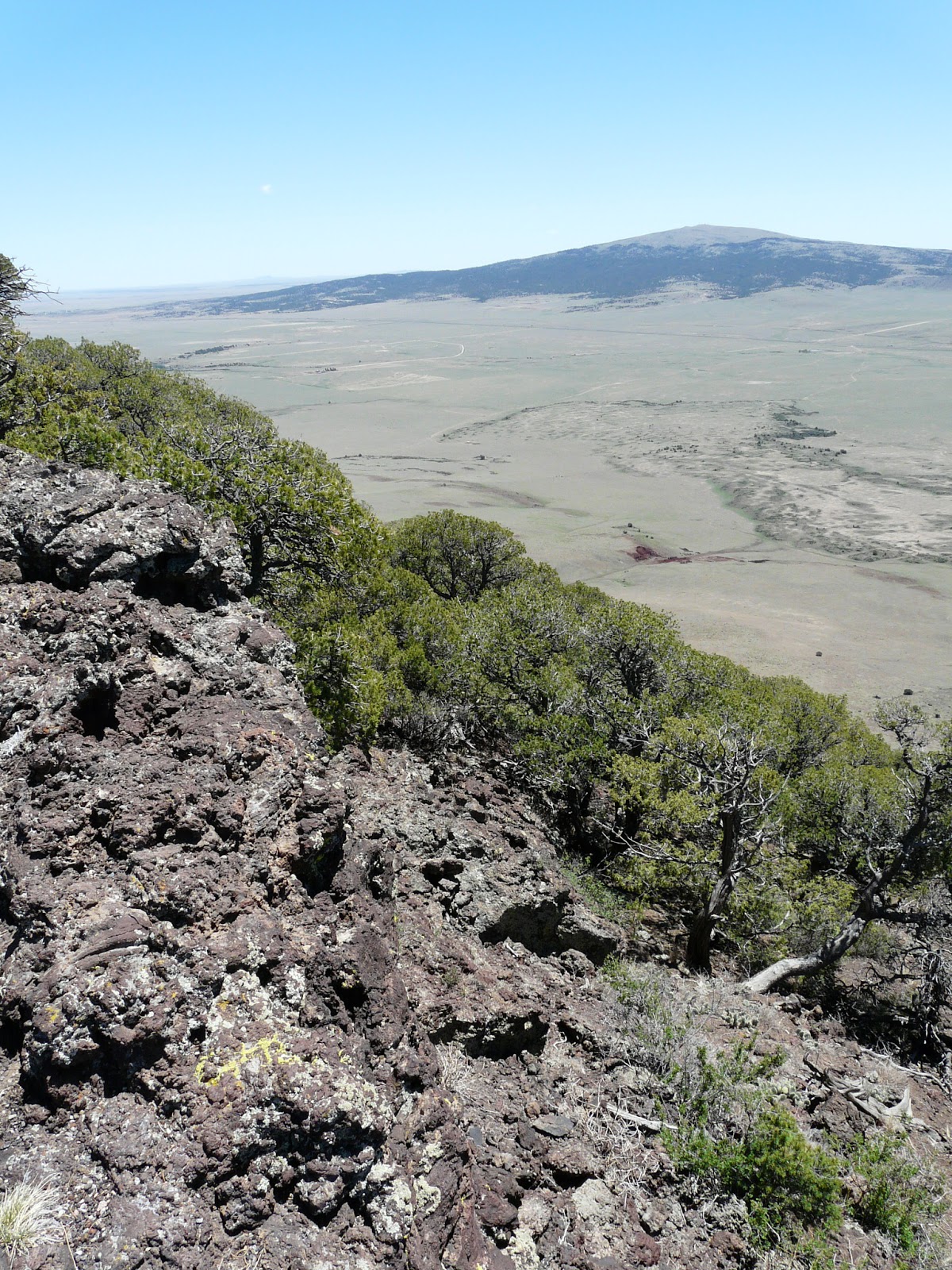
From the top of the volcano the views are vast and the signage around the rim helped to explain the interesting geology of the area. When the volcano erupted it impacted the landscape for miles. The scars are still visible.
The volcano rises to a height of 8182 feet above sea level, or 1300 feet above the surrounding High Plains. This means that the views are expansive and impressive.
The photo above is looking into the center of the crater that is 415 feet deep and 1450 feet in diameter. After we hiked the entire rim, we took the trail to the center. There was signage and information throughout. It was a very interesting place and we loved the hikes and scenery.


No comments:
Post a Comment